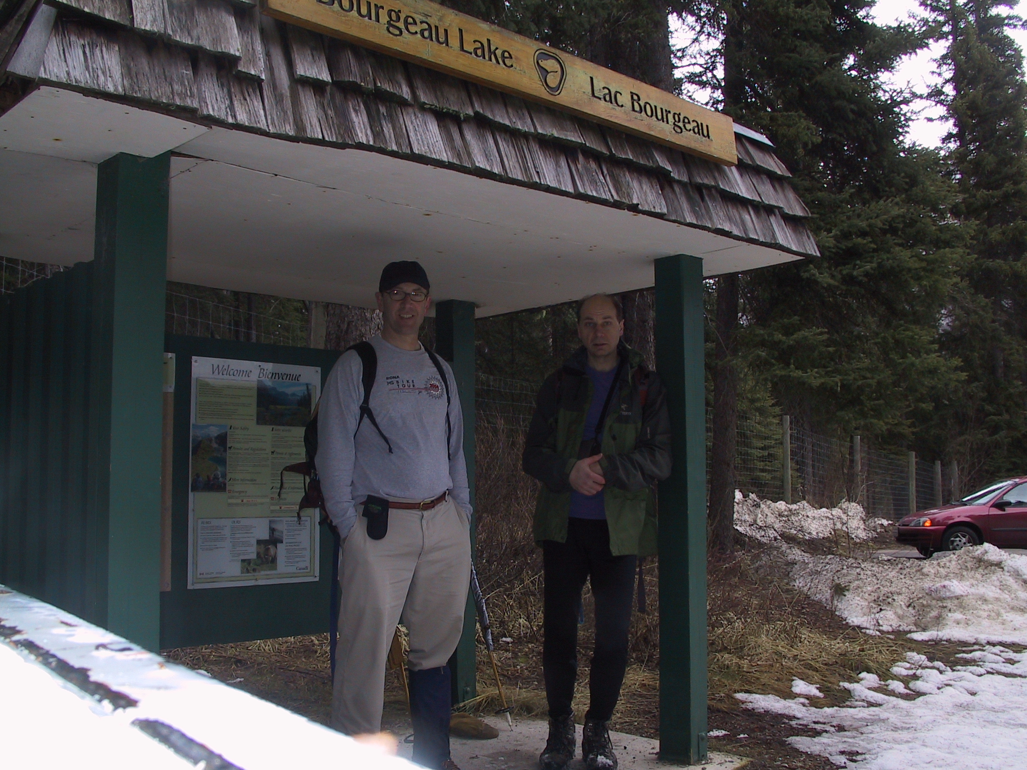
Just a nice day to try out a hike in some of our beautiful Banff National Park areas.
The trial started of with a bit of snow here and there and quickly went to several
feet thick.
At one point we tried to measure it and could not reach bottom with our ski
poll. Open scree
slopes showed signs of avalanches. The boys would enjoy disappearing in
snow off the trail.
It was just the right temperature for snowman or balls, a key ingredient for
them.
Near the top it got substantially windier and almost turned into a whiteout.
The trip out went quite quickly as the snowshoes served as skis, about 2 hours
and opposed to the 5 hours up.
http://www.canadianrockies.net/luminous/mpbourge.html
| Distance: | 7.5 km (4.5 mi) - Trans-Canada Highway to Bourgeau Lake |
| Day Hike: | 2.5 - 3 hr one way |
| Elevation Gain: | 710 m (2330 ft) |
| Maximum Elevation: | 2155 m (7070 ft) |
| Trailhead: | Parking area on west side of Trans-Canada Highway, 2.8 km (1.7 mi) north of Sunshine interchange and 0.5 km (0.3 mi) south of bridge over Wolverine Creek. |

|
|
0.0 - | Sign (elevation 1445 m). Proceed into forest and begin steady climb. | ||
|
|
2.5 - | Cross avalanche chute. | ||
|
|
3.7 - | Cross tributary of Wolverine Creek flowing from south. | ||
|
|
5.5 - | Cross Wolverine Creek below waterfall on rock steps. Begin steep switchbacks. | ||
|
|
6.8 - | Trail levels out in meadows of lake basin. | ||
|
|
7.5 - | Northeast end of Bourgeau Lake (2155 m). |
| Craig Owens, Karl Burndorfer, - Leaders |
 You
are here! How do they know that? You
are here! How do they know that? |
 Now
we take escalators into the hike. Now
we take escalators into the hike. |
 definitely
snowshoe country definitely
snowshoe country |
 here
we are on top of the last avalanche. here
we are on top of the last avalanche. |
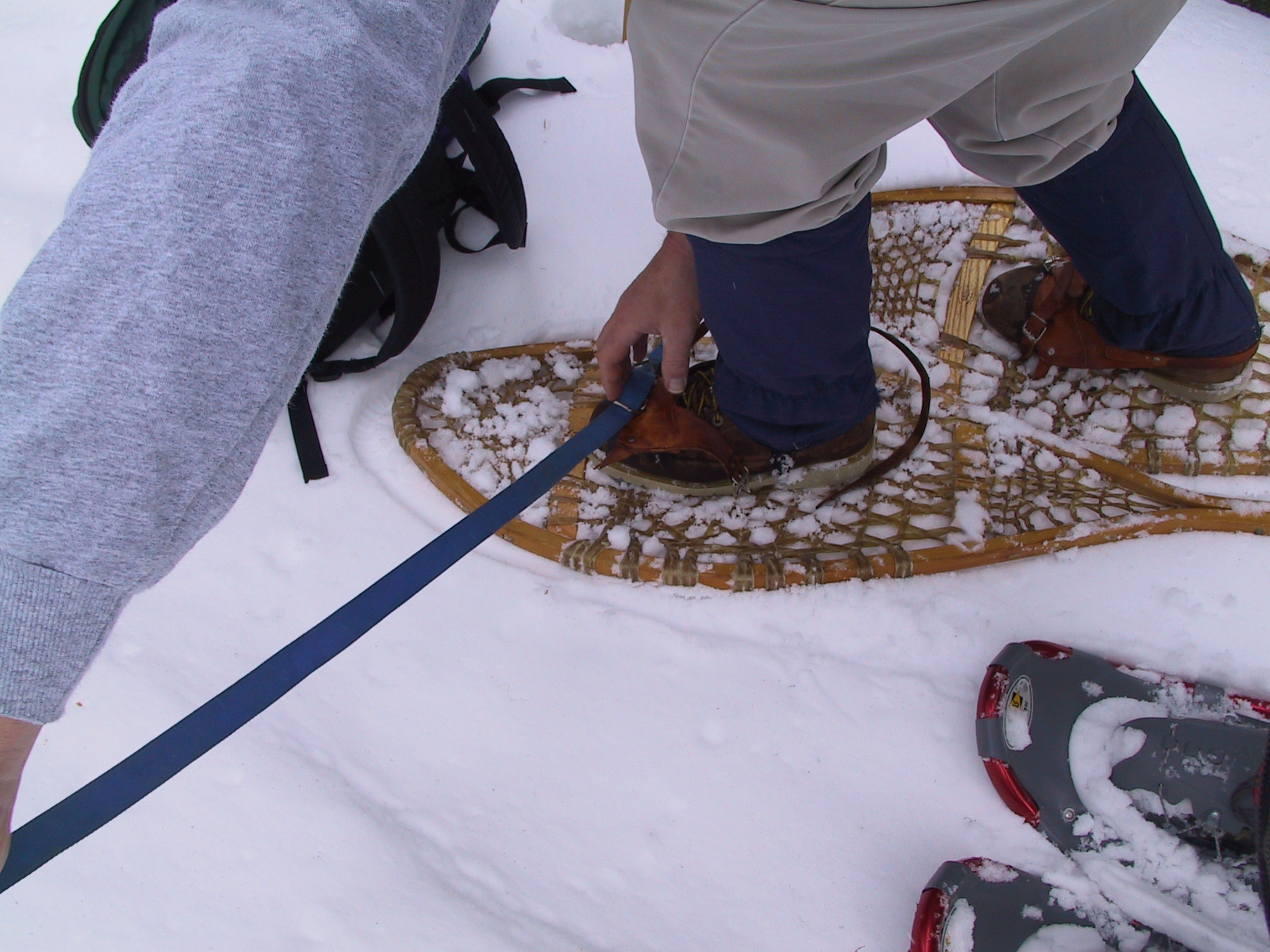 coming
to the expiry date on leather strap bindings. coming
to the expiry date on leather strap bindings. |
 If
that chunk didn't fall off we could have you thinking we are crossing a
snow bridge. If
that chunk didn't fall off we could have you thinking we are crossing a
snow bridge. |
 Another
one of those avalanche slopes. There is a few giant snowman sized balls
that stopped just ahead of us. Another
one of those avalanche slopes. There is a few giant snowman sized balls
that stopped just ahead of us. |
 Into
the safety of the trees. Into
the safety of the trees. |
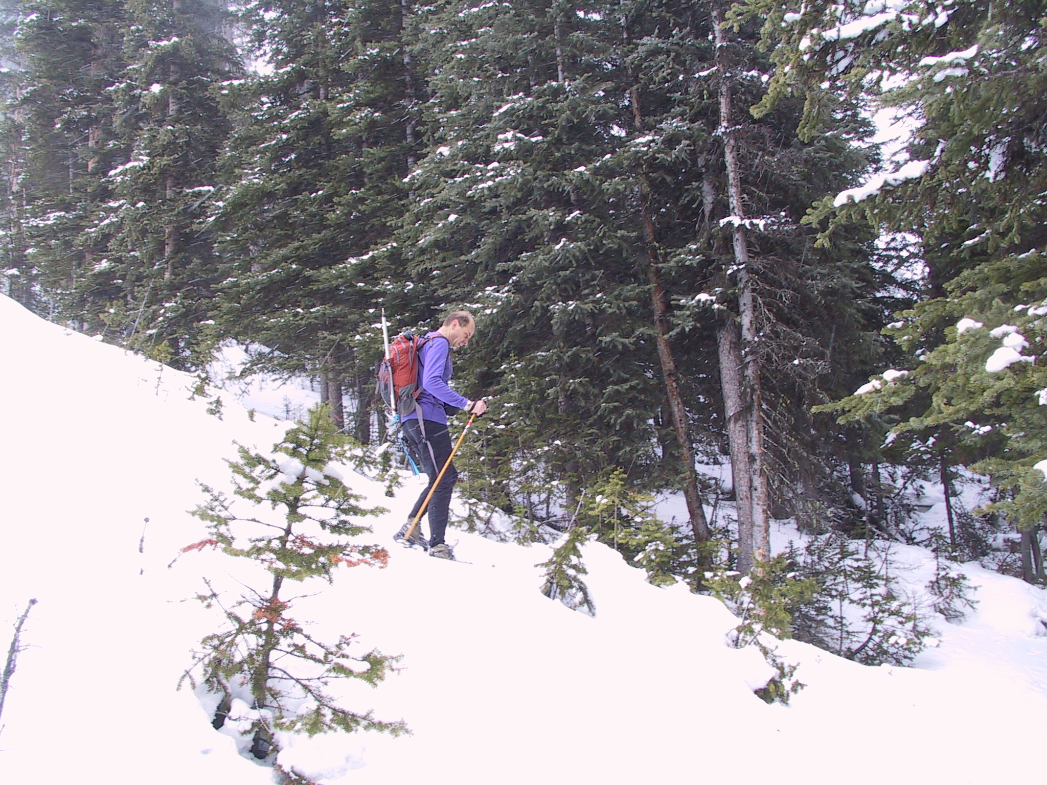 Climb
gets pretty steep here. Climb
gets pretty steep here. |
 We're
thinking this would be around the last sheltered spot before the lake. We're
thinking this would be around the last sheltered spot before the lake. |
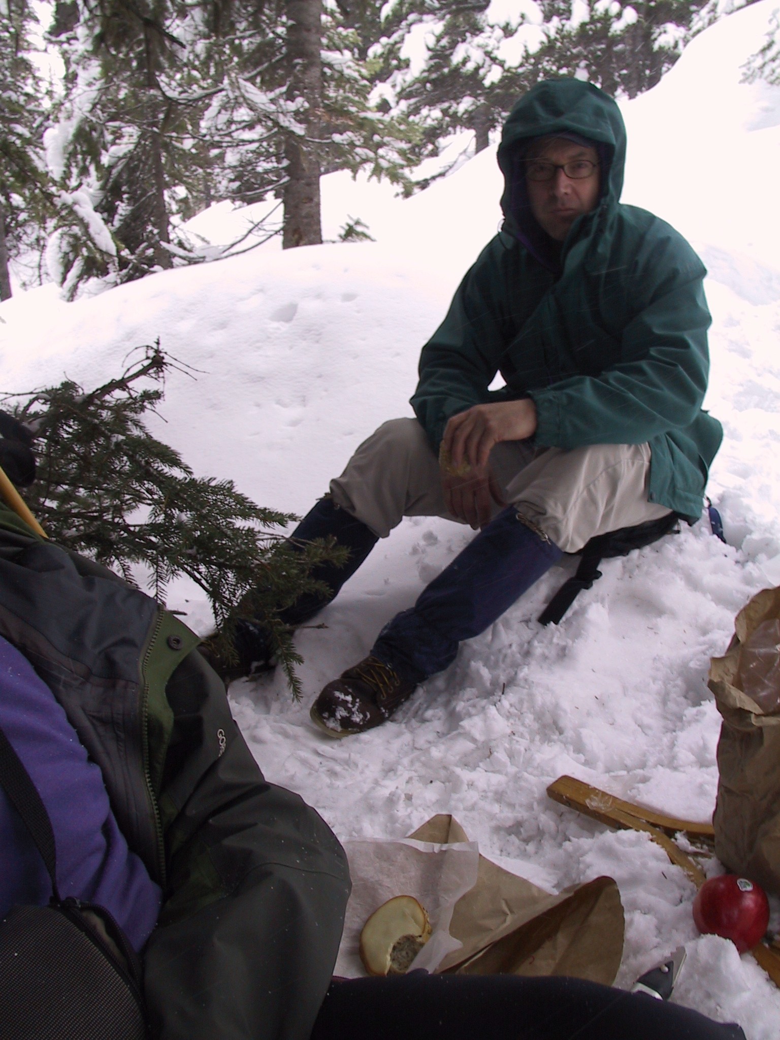
 Food
sure taste better out here. Food
sure taste better out here. |
 So
there doesn't seem to be any of those fiercely hungry birds around this
time. So
there doesn't seem to be any of those fiercely hungry birds around this
time. |
 Looks
like leather bindings arn't the only thing that's expiring around here. Our
first break of the day. Just never know when that duck tape is going to be
needed. Looks
like leather bindings arn't the only thing that's expiring around here. Our
first break of the day. Just never know when that duck tape is going to be
needed. |
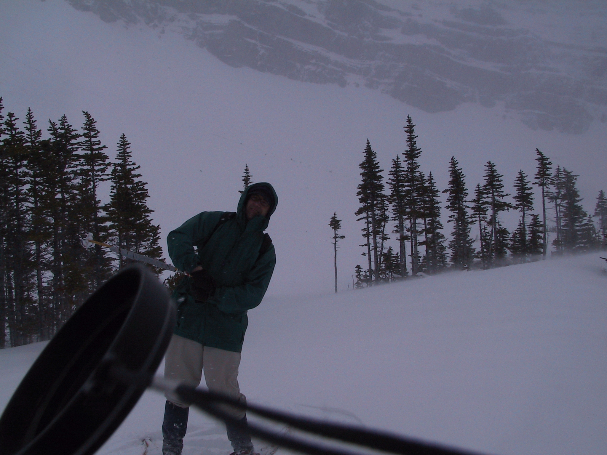
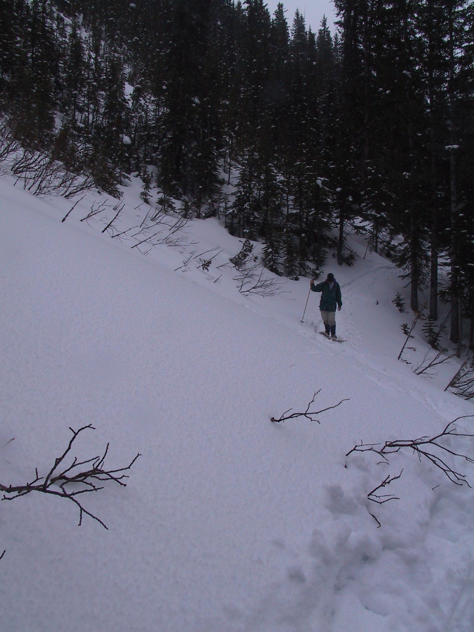
 Just
testing the depth of the snow, where'd my pole go??? Just
testing the depth of the snow, where'd my pole go??? |
 Want
to see me pull a ski pole out of my hat? Want
to see me pull a ski pole out of my hat? |
 On
the plateau with the lake, finally. On
the plateau with the lake, finally. |
 Winds are getting a bit extreme out here.
 |
 I'm
trying to blend in with the trees. I'm
trying to blend in with the trees. |
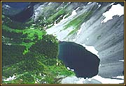
 So
the lake kind of blends in with everything else that's white around here.
But its just passed those trees. So
the lake kind of blends in with everything else that's white around here.
But its just passed those trees. |
 Bracing
each other against the really big gusts. Bracing
each other against the really big gusts. |
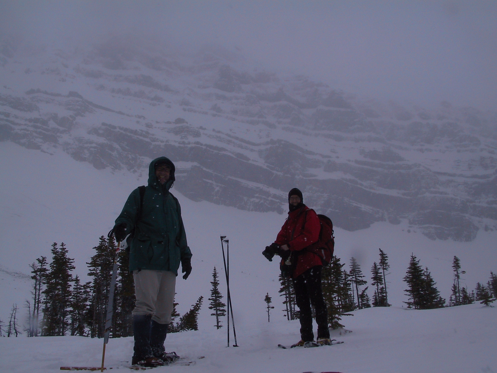 We
meet a friend from BC. We
meet a friend from BC. |
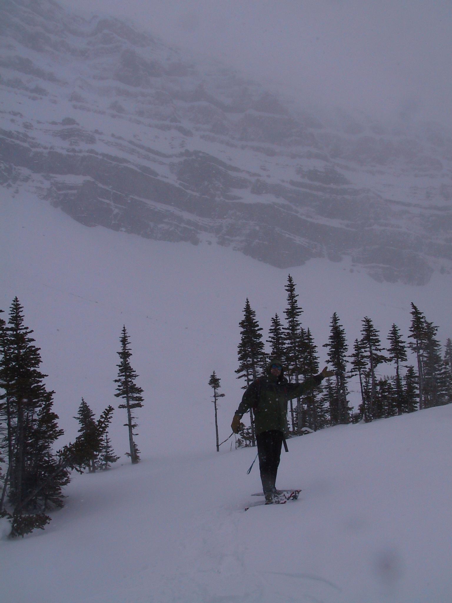
 Pointing
the way those those want to keep going and get to the top. Pointing
the way those those want to keep going and get to the top. |
 Well
time to start for home, hey wait up. Well
time to start for home, hey wait up. |
 Now
where did they go, these foot prints are fading fast. Now
where did they go, these foot prints are fading fast. |
 Oh,
there they are, I can barely make them out. Oh,
there they are, I can barely make them out. |
 So
do I really need snowshoes here? So
do I really need snowshoes here? |
 Ok,
I do now. My crotch is getting cold. Ok,
I do now. My crotch is getting cold. |
 Getting
on high ground is not that easy. Getting
on high ground is not that easy. |
 You
have to wait up for a one legged snow shoe-er. You
have to wait up for a one legged snow shoe-er. |
 I
can do it. I
can do it. |
 Just
not going to resort to duct tapping my boot to the snow shoe. Just
not going to resort to duct tapping my boot to the snow shoe. |
 Ok
I can finally get by without the dang things. Ok
I can finally get by without the dang things. |
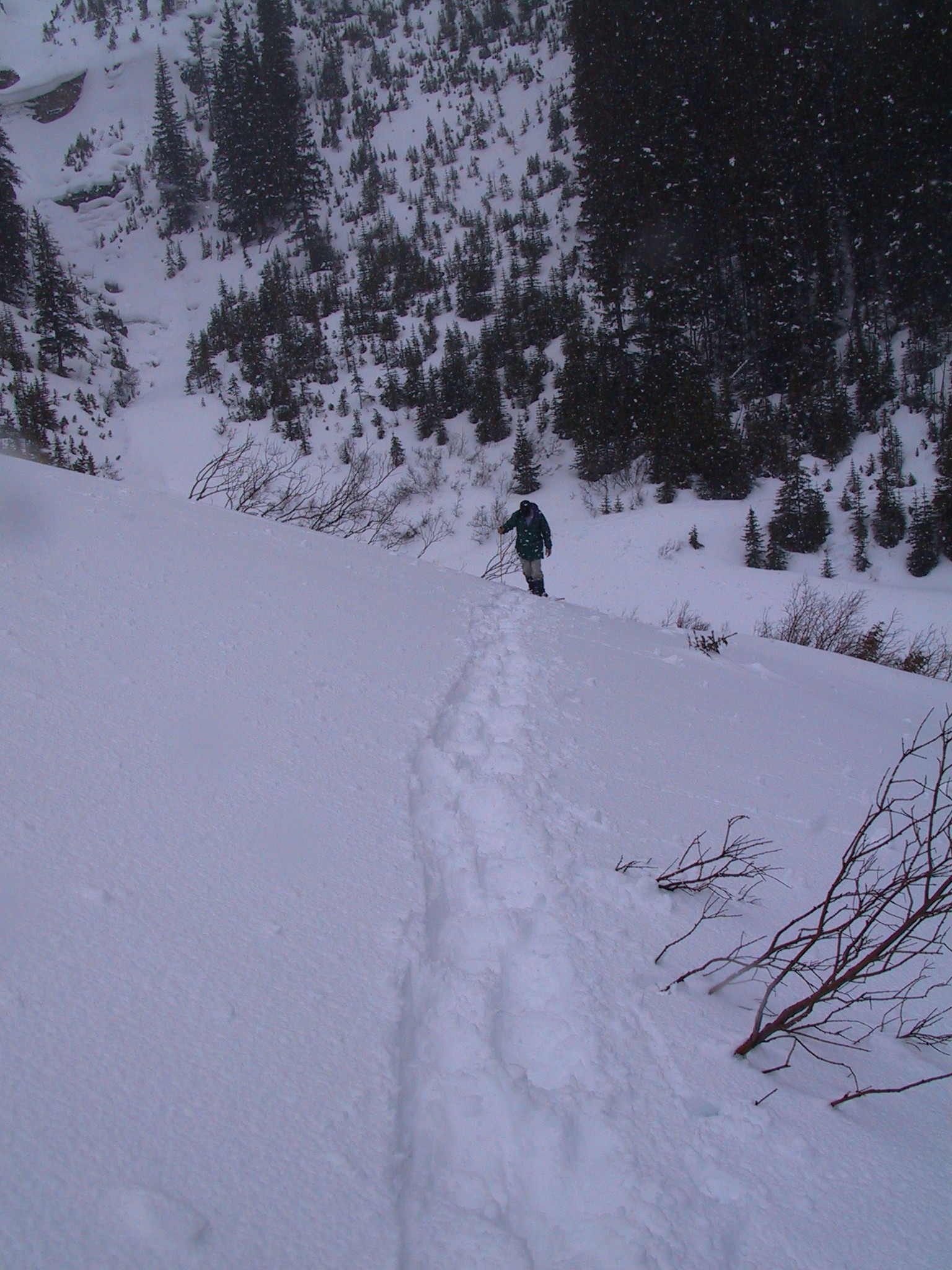
 The
last scree slope, almost home The
last scree slope, almost home |
 and
that's all there is to it folks. Have a nice day. and
that's all there is to it folks. Have a nice day. |